Metadata Catalogue
Camera Trap Data Package
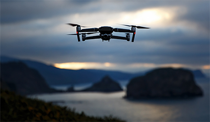
Camera Trap Data Package (or Camtrap DP for short) is a community developed data exchange format for camera trap data.
A Camtrap DP is a Frictionless Data Package ( https://frictionlessdata.io/projects/#software-and-standards) that consists of 4 files:
- datapackage.json: metadata regarding the data package and camera trap project.
- deployments.csv: a table with camera trap deployments.
- multimedia.csv: a table compiling multimedia files taken by the camera traps.
- observations.csv: a table with observations based on the multimedia files.
The Camtrap DP package is documented on a website ( https://tdwg.github.io/camtrap-dp/).
Camtrap DP is managed by the Machine Observations Interest Group of Biodiversity Information Standards (TDWG). It was originally developed by the Open Science Conservation Fund and the Research Institute for Nature and Forest (INBO). Camtrap DP is endorsed the camera trap data management systems Agouti, eMammal, TRAPPER, Wildlife Insights and already available as an export format in some of these.
Default
- Date ( Creation)
- 2020-03-30
- Date ( Revision)
- 2021-10-04
- Status
- On going / operational
- Keywords
-
remote sensing
- Keywords
-
data management
- Keywords
-
format
- Keywords
-
datapackage
- Keywords
-
camera trap
- Keywords
-
animal biologging
- Access constraints
- License
- Use limitation
- OnLine resource
-
camtrap-dp on Github
(
WWW:LINK-1.0-http--link
)
- OnLine resource
-
Documentation website
(
WWW:LINK-1.0-http--link
)
- Topic Category
- Species distribution
- Service Category
-
data validation
- Service Category
-
data processing
- Service Language
- eng
- Service TRL
- TRL 9 – Actual system proven in operational environment
- Service Helpdesk
Metadata
- File identifier
- c0f5ed31-6559-473c-b8ac-a80e624087f2 XML
- Metadata language
- en
- Hierarchy level
- Service
- Metadata Schema Version
-
0.1.3