Metadata Catalogue
1st stage Image Stacking
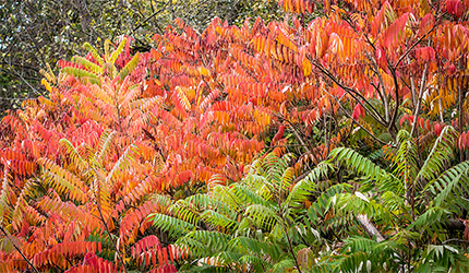
This service aims at creating a stack of coregistered multi-spectral raster images. It groups four multi-seasons images and stack them to obtain a unique image at native resolution (30 meters) by using the Landsat 5 sensor.
It represents the Step 3 of the Ailanthus Workflow within the Internal Joint Initiative.
Default
- Date ( Creation)
- 2019-07-04
- Date ( Publication)
- 2021-04-02
- Status
- Obsolete
- Keywords
-
modelling
- Keywords
-
habitat mapping
- Keywords
-
Stacking
- Keywords
-
multi-layer file
- Keywords
-
Ailanthus
- Keywords
-
IJI
- Keywords
-
data processing
Distribution Information
- OnLine resource
-
Link to the service
(
WWW:LINK-1.0-http--link
)
- OnLine resource
-
Link to the workflow
(
WWW:LINK-1.0-http--link
)
- Operation name
-
Image1_L5_30m_PrePeak.tiff
- Description
-
It represents the winter multi-spectral (6 bands except thermal) image (vegetation at the pre-peak of biomass) acquired from Landsat 5 satellite at 30 meters spatial resolution. The data needs to be georeferenced and a surface reflectance product. These data will be stacked with coregistered images from the other seasons to be used as input to the supervised data-driven classifier. File format: raster geotiff.
- Function
-
Input file
- Operation name
-
Image2_L5_30m_Peak.tiff
- Description
-
It represents the spring multi-spectral (6 bands except thermal) image (vegetation at the peak of biomass) acquired from Landsat 5 satellite at 30 meters spatial resolution. The data needs to be georeferenced and a surface reflectance product. These data will be stacked with coregistered images from the other seasons to be used as input to the supervised data-driven classifier. File format: raster geotiff.
- Function
-
Input file
- Operation name
-
Image3_L5_30m_DrySeason.tiff
- Description
-
It represents the summer multi-spectral (6 bands except thermal) image (vegetation at the dry season) acquired from Landsat 5 satellite at 30 meters spatial resolution. The data needs to be georeferenced and a surface reflectance product. These data will be stacked with coregistered images from the other seasons to be used as input to the supervised data-driven classifier. File format: raster geotiff.
- Function
-
Input file
- Operation name
-
Image4_L5_30m_PostPeak.tiff
- Description
-
It represents the autumn multi-spectral (6 bands except thermal) image (vegetation at the post peak of biomass) acquired from Landsat 5 satellite at 30 meters spatial resolution. The data needs to be georeferenced and a surface reflectance product. These data will be stacked with coregistered images from the other seasons to be used as input to the supervised data-driven classifier. File format: raster geotiff.
- Function
-
Input file
- Operation name
-
Stack_4dates_L5_30m.tiff
- Description
-
It is a multi-layer file containing the four multi-season images each one with its 6 bands. File format: raster geotiff.
- Function
-
Output file
- Related Services
-
Workflow Studio
- Topic Category
- Land cover
- Service Category
-
data processing
- Service Language
- eng
- Service TRL
- TRL 9 – Actual system proven in operational environment
Metadata
- File identifier
- f3033a25-2623-459f-93ac-11679133e0af XML
- Metadata language
- en
- Hierarchy level
- Service
- Metadata Schema Version
-
1.0